National Geodetic Survey Data Sheet OZ1010
| Description |
Date |
Publication / Internet |
| Dell.—Department of Commerce Intermediate field (for day operations only), site 27, Salt Lake-Great Falls Airway. North of city along W. side of railroad and highway. Altitude 6,041 feet. T shape, 111 acres, two landing strips, 2,490 by 1,100 feet E./W., and 4,000 by 707 feet NW./SE.; gravel, slight slope to N.; natural drainage. Pole line to E. No servicing facilities. |
September 1, 1931 |
Airway Bulletin No. 2
page 83 |
| Dell.—Department of Commerce intermediate field (for day operations only), site 27, Salt Lake-Great Falls Airway. North of city along W. side of railroad and highway. Altitude 6,041 feet. T shape, 111 acres, two landing strips. 2,490 by 1,100 feet E./W., and 4,000 by 707 feet NW./SE.; gravel, slight slope to N.; natural drainage. Pole line to E. No servicing facilities. |
September 1, 1932 |
Airway Bulletin No. 2
page 92 |
| Dell.—Department of Commerce intermediate field (for day operations only), site 27, Salt Lake-Great Falls Airway. North of city along W. side of railroad and highway. Altitude 6,100 feet. T shape, 107 acres, two landing strips. 2,490 by 1,100 feet E./W., and 4,000 by 707 feet NW./SE.; entire field available; gravel, slight slope to S.; natural drainage. Pole line to E. and S. Buildings to SE. No servicing facilities. |
June 1, 1933 |
Airway Bulletin No. 2
page 90 |
| Dell. —Department of Commerce intermediate field (for day operations only. site 27, Salt Lake-Great Falls Airway. North of city along W. side of railroad and highway. Altitude 6,100 feet. T-shape, gravel, slight slope to S.; natural drainage; two landing strips, 2,490 feet E./W., and 4,000 feet NW./SE.; entire field available. Pole line to E. and S. Buildings to SE. No servicing facilities. |
September 1, 1934 |
Airway Bulletin No. 2
page 100 |
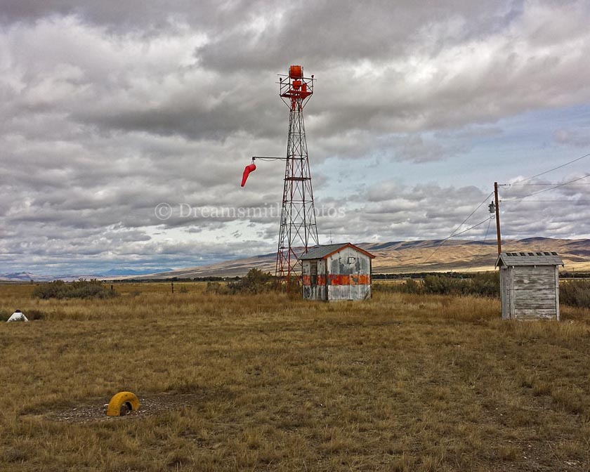
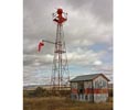
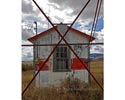
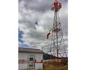
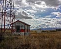
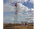
| Dell.—Department of Commerce intermediate field, site 27B, Salt Lake-Great Falls Airway. North of city along W. side of railroad and highway. Lat. 44°43'; long. 112°42'. Alt 6,140 feet. T-shape, gravel, slight slope to S.; natural drainage; two landing strips, 2,490 feet E./W., and 4,000 feet NW./SE.; entire field available. Pole line to E. and S.; buildings to SB. Beacon, boundary, approach, and obstruction lights. Beacon, 24-inch rotating, clear, with green course lights flashing characteristic "7" ( . .). No servicing. |
January 1, 1937 |
Airway Bulletin No. 2
page 111 |
| Dell.—Department of Commerce intermediate field, site 28, Salt W Falls Airway. North of city along W. side of railroad and UpW .. 44"43'; long. 112°42'. Alt. 6,140 feet T-shape, gravel, slight slope to S.; natural drainage; two landing strips, 2,490 feet E./W., and 4,000 feet NW./SE.; entire field available. Pole line to E. and S.; buildings to SB. Beacon, boundary, approach, and obstruction lights. Beacon, 24-inch rotating, clear. course lights flashing characteristic "8" ( . . .) No servicing. |
January 1, 1938 |
Airway Bulletin No. 2
page 112 |
Dell Flight Strip - Airport 4U9 on Wikipedia
FAA information about Dell Flight Strip-Airport 4U9
|

