 |
|||||||
|
|||||||
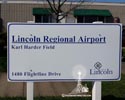
Lincoln Regional Airport / Karl Harder FieldGPS: 38.904830, -121.343533 |
|||||||
click on small photo to view larger |
 |
||||||
Location / Airway |
|||||||
Location / Name
Contract Air Mail
Operator |
|||||||
Observations and Notes |
|||||||
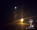
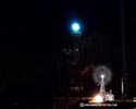
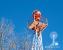
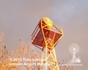
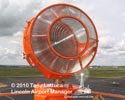
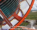
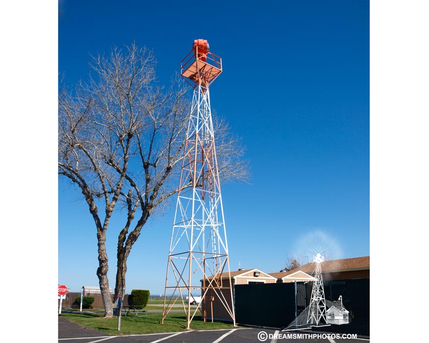
The airfield was constructed in 1942 by the U.S. Army Air Corps. At the time, the airfield was known as Lincoln Auxiliary Field - Mather Flying School and its primary use was to provide a location for emergency landings and training. In 1946 the City of Lincoln was granted a permit to operate a municipal airport on the site. This beacon was used by the early airmail pilots to fly their planes over "The Hump" as the route from Reno to San Francisco was commonly called. It was located on Contract Air Mail Route No. 18 at site No. 11B in Colfax, and moved to it's current location about 1965. According to Tony Lattuca, airport manager, the original beacon light was replaced just a few years ago, after it stopped working. The had to exchange it to get the current beacon, which is similar to the original. This beacon light operates from dusk to dawn daily. |
|||||||
Contributors Photos |
|||||||
Courtesy of Tony Lattuca-Airport Manager 2015 |
|||||||
click small photo to view larger
|
 |
||||||
Links |
|||||||
Sky Vector Airport information Lincoln Regional Airport website, Lincoln, CA.
Lincoln Auxiliary Field History
Auburn Journal Friday Feb 07 2014
|
|||||||
|
Make a comment on our Facebook Page "Arrows Across America" about this arrow.
|
|||||||
| This site provides historical information only, do not use for navigation purposes. Arrows and Beacons may be on private property, DO NOT TRESSPASS! ALL photos are copyrighted and may not be used without written permission other than for personal use. |
|||||||
| Alabama | Arizona | Arkansas | California | Colorado | Connecticut | Delaware | Florida | Georgia | Idaho | Illinois | Indiana | Iowa | Kansas Kentucky | Louisiana | Maine | Maryland | Massachusetts | Michigan | Minnesota | Mississippi | Missouri | Montana | Nebraska | Nevada New Hampshire | New Jersey | New Mexico | New York | North Carolina | North Dakota | Ohio | Oklahoma | Oregon | Pennsylvania Rhode Island | South Carolina | South Dakota | Tennessee | Texas | Utah | Vermont | Virginia | Washington | West Virginia | Wisconsin | Wyoming |
|||||||


